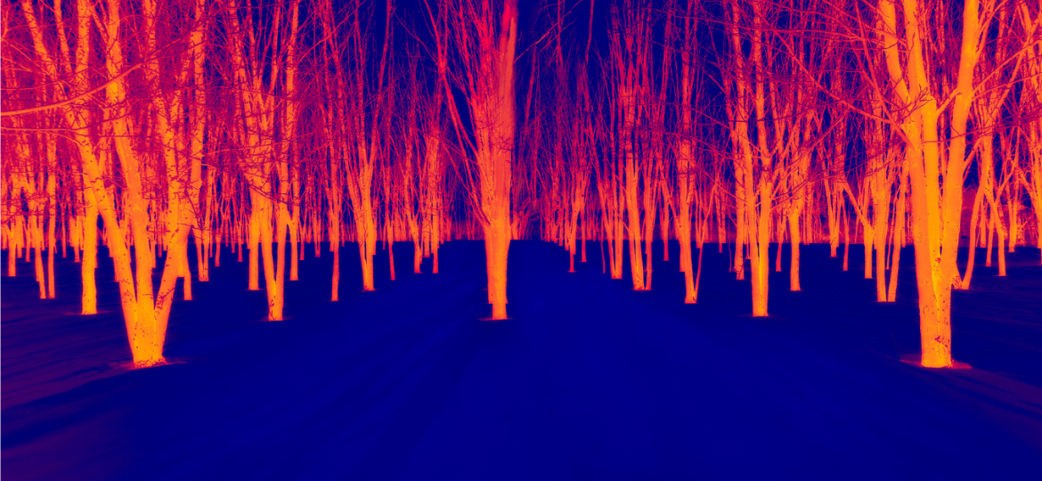
Infrared imaging is a cutting-edge technology that captures the thermal radiation emitted by objects, making it possible to visualize information invisible to the naked eye. This technique uses special sensors to detect heat, providing detailed images based on temperature variations that appear as different colors or grayscale on the image. This ability to detect heat differences makes infrared imaging particularly useful in many fields, and its applications in environmental monitoring and protection are particularly noteworthy.
Infrared at the forefront of forest fires
Forest fires are a growing threat due to climate change. Infrared imaging plays a crucial role in fighting forest fires, enabling early detection and effective fire management. Infrared cameras can spot hot spots, indicating the presence of flames or glowing embers, long before they are visible to the naked eye. This capability enables fire-fighting teams to intervene quickly, reducing the risk of uncontrolled spread. Drones equipped with infrared cameras can fly over at-risk areas, providing real-time heat maps that help coordinate fire-fighting efforts and direct resources to the most critical areas. in addition, infrared imaging contributes to firefighter safety by identifying danger zones and hidden hot spots, enabling a safer and more effective response. By providing a detailed and accurate view of the fire, this technology significantly improves the ability to protect ecosystems, property and human life.
Infrared against oil threats
Oil spills are a serious threat to marine ecosystems. Infrared imaging is a powerful tool for detecting suck leaks in aquatic environments, offering a fast and effective method for identifying and locating spills. Infrared cameras mounted on drones or aircraft can detect temperature variations on the water surface, revealing oil slicks that appear warmer or colder than the surrounding water. This technology enables real-time, large-scale monitoring of marine and coastal areas, facilitating a rapid response to contain and clean up spills before they cause significant environmental damage. By providing accurate and immediate data, infrared imaging greatly enhances efforts to protect marine ecosystems and prevent ecological disasters.
infrared imaging for forest vitality
Forest health is a key indicator of ecological stability. Infrared imaging is a valuable tool for assessing and monitoring forest health. By detecting temperature variations and the thermal signatures of trees, this technology can identify signs of water stress, disease or infestation long before these problems are visible to the naked eye. Drones equipped with infrared cameras fly over forest areas, capturing detailed images that map tree vitality and quickly pinpoint areas in distress. This information is crucial for forest managers, enabling targeted preventive measures to be taken, such as irrigation, disease treatment or pest population management. By providing accurate, real-time data, infrared imaging helps maintain biodiversity, prevent deforestation and ensure the resilience of forest ecosystems in the face of climate change.
using infrared to fight air pollution
Air pollution is a global problem affecting human health and the environment. Infrared imaging can be used to monitor air quality by detecting greenhouse gases and other pollutants. Infrared sensors measure the heat signature of different gases (such as carbon dioxide, methane and other greenhouse gases), providing precise data on their concentration and dispersion. This information is crucial for environmental authorities to monitor pollution sources, assess the effectiveness of emission reduction policies and protect public health.
infrared for safer landfills
Landfills can emit dangerous gases, such as methane, which contribute to global warming. Infrared imaging is an indispensable tool for efficient waste and landfill management, particularly in detecting thermal variations, enabling the identification of hot spots and leaks of gases, such as methane, which can pose environmental and health risks. Infrared cameras mounted on drones or installed on site provide continuous, real-time monitoring, helping to prevent underground fires and contain harmful gas emissions. This early detection capability enables landfill managers to take corrective action quickly, reducing negative impacts on the environment and public health.
Challenges and perspectives
Infrared imaging is an essential technology for monitoring and protecting the environment. By providing accurate, real-time data, infrared imaging helps to make informed decisions, intervene quickly and protect our planet for future generations, but it is not without its challenges. One of the main difficulties lies in the high cost of equipment and maintenance, limiting its accessibility to certain regions or organizations. Furthermore, the interpretation of infrared data requires technical expertise, posing an additional challenge in terms of training and skills. Despite these obstacles, the outlook for infrared imaging remains promising. Technological advances will continue to improve the accuracy and efficiency of sensors, making this technology more accessible and more effective.
